
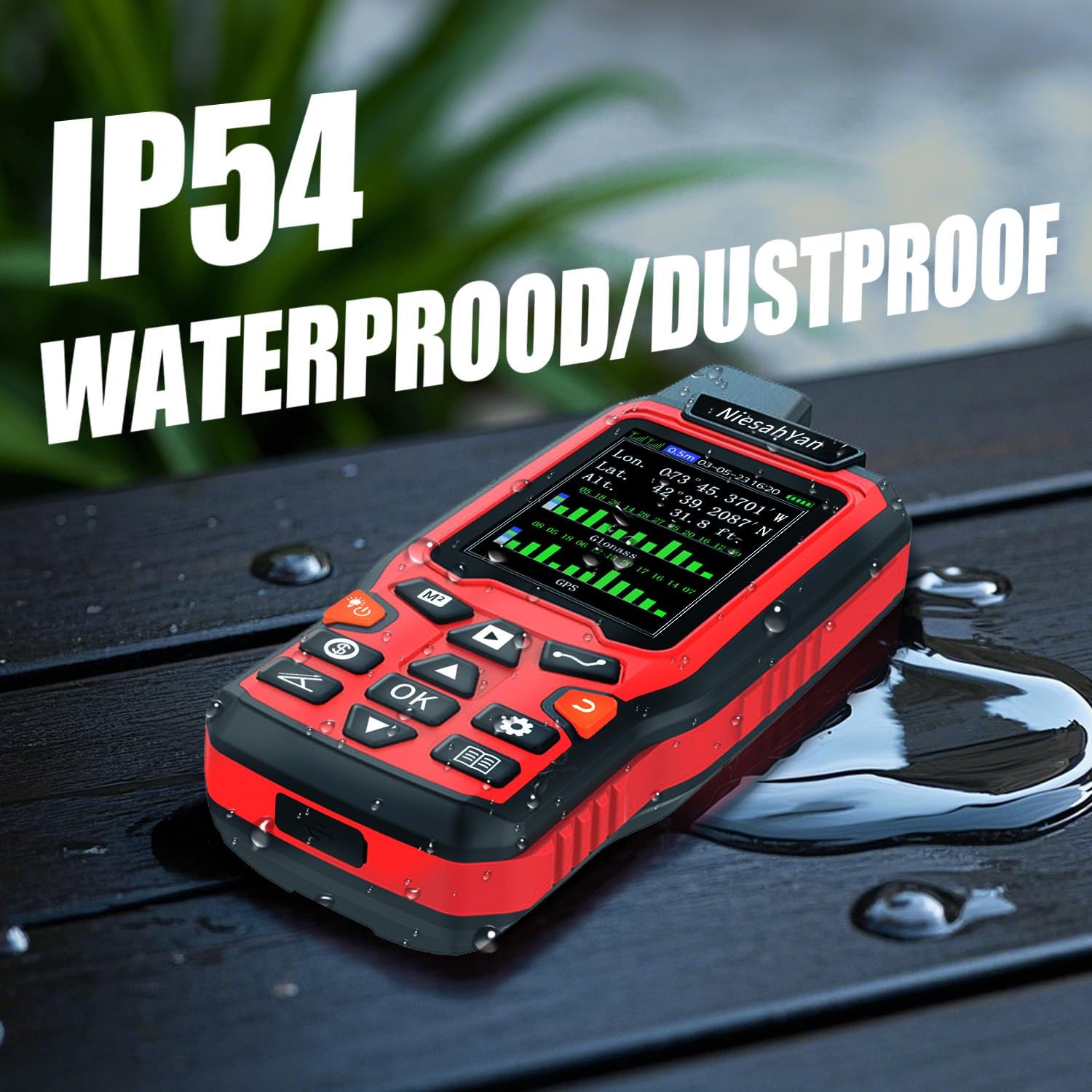
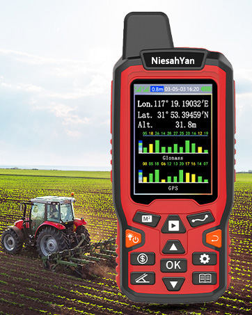
ZL180 Handheld GPS for Surveying, High Precision Rugged Land Surveying Equipment for Ranches, Garden, Farmland and Parking Area Distance Measuring
$81.68
Related Products


From the brand


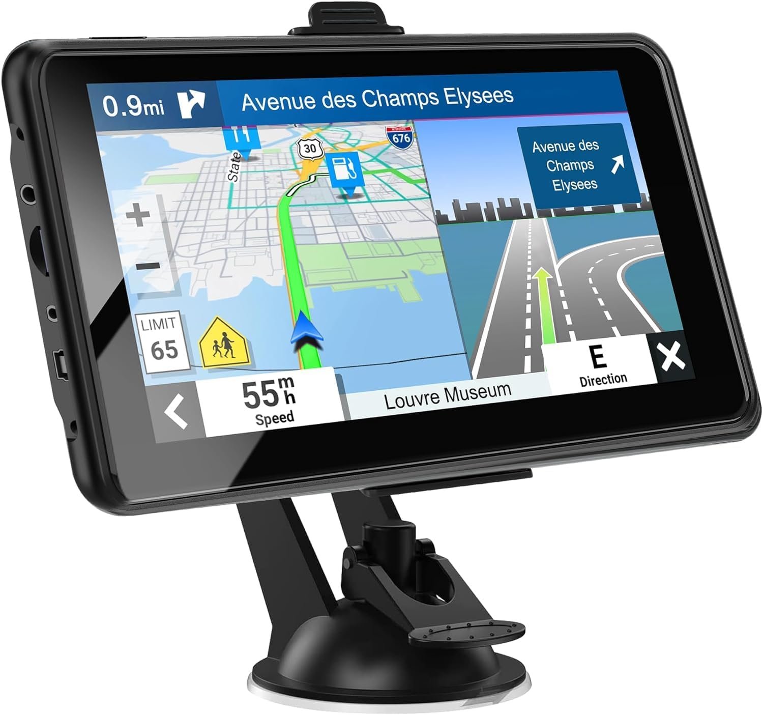
Handheld GPS Units

A6 Hiking GPS

Handheld GPS Navigator

ZL-190PLUS GPS Surveying Equipment
ZL180 GPS Surveying Equipment

All NiesahYan products come with 2 years after-sell service
How do we start?
Our team consists of a group of engineering professionals whose constant exploration of new technological areas ensures that our products are at the forefront of the market.
What makes our company unique?
We firmly believe that product quality is the key to our success. This is a core belief that we have always held and it permeates all our decisions and actions.
Why do we love what we do?
Providing cost-effective GPS measuring tools and handheld GPS units for consumers around the world. Just give up the complex labor-intensive tools and making people’s lives easier and better!
HIGH PRECISION ACCURACY: 2 high sensitivity satellites global GPS + GLONASS coverage for reliable surveying around the world, support for fast positioning and a reliable signal,area measurement error in 0.003 acres,it cannot be used for saving waypoints and navigation
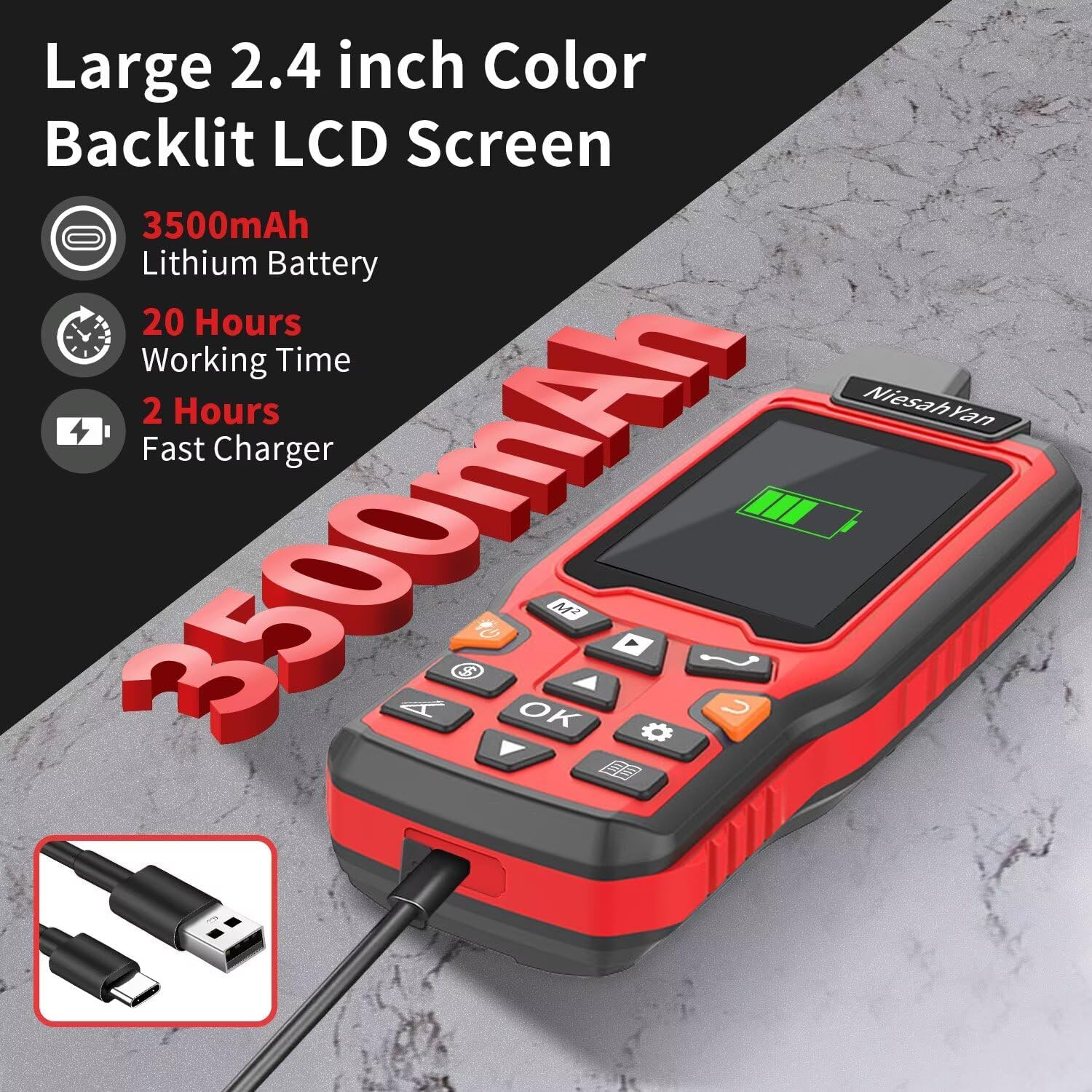
LARGE LCD: Our Product has a 2.4 inch FSTN panel and equipped with LCD backlight display, the measurement results can be displayed on the screen directly, convenient for observation
RUGGED DESIGN: Our Product has a weight of approximately 180g/6.3oz and is compact, making it easy to carry. Adopts humanized groove design, easy to hold and not easy to fall off when using
4 IN 1 MEASUREMENT: 2 types of area measurement methods that can measure garden parking lot ranch and flat field.2 distance measurement that can measure straight and curve line distance
!!! PLEASE NOTE:Please search satellite signals in an open outdoor area before using this device and there is no signal can be found indoors.When the signal value in the upper left corner of the device screen is below 1 m, start measuring to ensure the accuracy of this device
TIPS: Recommended to measure an area above 0.16 acres and distance above 328 ft. The larger the measurement range, the smaller the error.The device needed to be held horizontal when measuring
NOTE:The altitude data displayed on the device is GPS altitude, and it changes with Satellite Signal.This is normal!This device only be used for surveying land and cannot be used for saving waypoint and navigation
9 reviews for ZL180 Handheld GPS for Surveying, High Precision Rugged Land Surveying Equipment for Ranches, Garden, Farmland and Parking Area Distance Measuring
Add a review
$81.68
Henderson Whitaker –
Shipped on time ,delivered on time
Works great also this model has program for marking corners
Mohan1 –
Budget gps
Good, cheap, does what it says. Accurate enough. What do you expect for the price? Just dont got hiding gold with it. It might not be accurate enough for that
Terry –
Worth the price if you just need ballpark estimates…
Why did you pick this product vs others?:Reviews and price. Accuracy:If you use it for surveying property: Accuracy is adequate but not exact. Longitude and latitude are not stable. Measured distance vs wheel and it was within a few feet at 100yds. Ease of use:Easy to use just give it time to orient and it’s close…Gps functionality:if you used in a mapping or finding your way out you could probably get back to where you started with out getting lost!
JR,CROSS –
Highly recommend
Works very well
Fred –
Absolutely Junk
Absolute Chinese Junk! Ashamed of Amazon. Not a real GPS!
mark perron –
Small and battery lasts long time
It’s good I would buy it again
SMon –
Exelent product
Ease of use and very accurate.
M Watson –
Works Good – but only has one lat/long format
I got this to calculate the area of my lawns, which are oddly shaped. It works good for plotting out the path as you walk around, and it gives the area. Simple to use. Not giving it 5 stars because I could not change the format of the lat/long. My property map uses one format, Google map uses another, and this device requires I do a conversion in order to match either of those other formats.
mark maki –
Great item